Cate Bressers
Cate Bressers is a student at Indiana University of Pennsylvania currently completing her research at University of Colorado, Boulder under Dr. Anne Sheehan.
We are working with Tricon Geophysics, Inc. in Denver, CO to reprocess the Consortium for Continental Reflection Profiling (COCORP) Vibroseis seismic reflection data along a 168 km stretch in the Wind River Mountains in Wyoming. The data set, collected in the 1970s, will be reprocessed using modern processing techniques to improve the quality of the profile. The profile will be examined to identify subsurface features (e.g.. Moho reflections, faulting) that may aid in our understanding of the tectonic setting of the Laramide Orogeny (present-day Rocky Mountains).
Week 6 & Week 7 – Challenges, Facing Down Deadlines, and Some Hiking
July 22nd, 2016
For those avid fans of my blog (I assume there are so many of you!), it may not have escaped your notice that my posts have been a bit absent as of late. I’m afraid I’ve been insanely busy and overall not feeling super healthy, which has delayed some posts to my blog. Because of this, I will respond to all the lovely people who commented on my Week 3 blog at the end of this post.
…
The objective of this week’s post is to discuss challenges we’ve faced this summer. The big one that immediately jumps to my mind is simple: frustration. I imagine this is a challenge every single person ever involved in research has probably felt at one point or another. There’s plenty of opportunities for things to go wrong, for you to realize you’ve spent a lot of time on something only to realize you won’t use it, and for you to run up against deadlines wondering if you’ll possibly be done in time! The only truly productive thing you can do in the wake of these challenges it to find a way to calm yourself down and move forward. Life will always be full of frustrations so developing a strategy that works to keep you moving forward is very important!
In my case, I usually focus on finding a way to calm myself down (talking to friends, listening to music, walking a bit) if I need to and then start working on the problem from a small, accomplishable piece of the puzzle. Once I get through that first piece, my frustration almost always subsides and I’m excited and optimistic to move forward again.
The second challenge that I’d like to talk about is approaching a topic/task for which you have very little or no prior background knowledge. Because I haven’t taken any geophysics or seismology classes yet, nearly every day has had me exposed to something completely new. I’ve had to complete tasks that I had no idea how to even approach when I started.
My approach toward these kind of problems is to ask questions, but not too often. I like to start by seeing how far I can go without help. By taking that approach, when I reach a roadblock I am usually in a better position to explain exactly what it is that I need/am confused about, and spend less of the valuable time of the person I’m asking. This isn't always possible, but it's a nice to approach to take when you can.
…
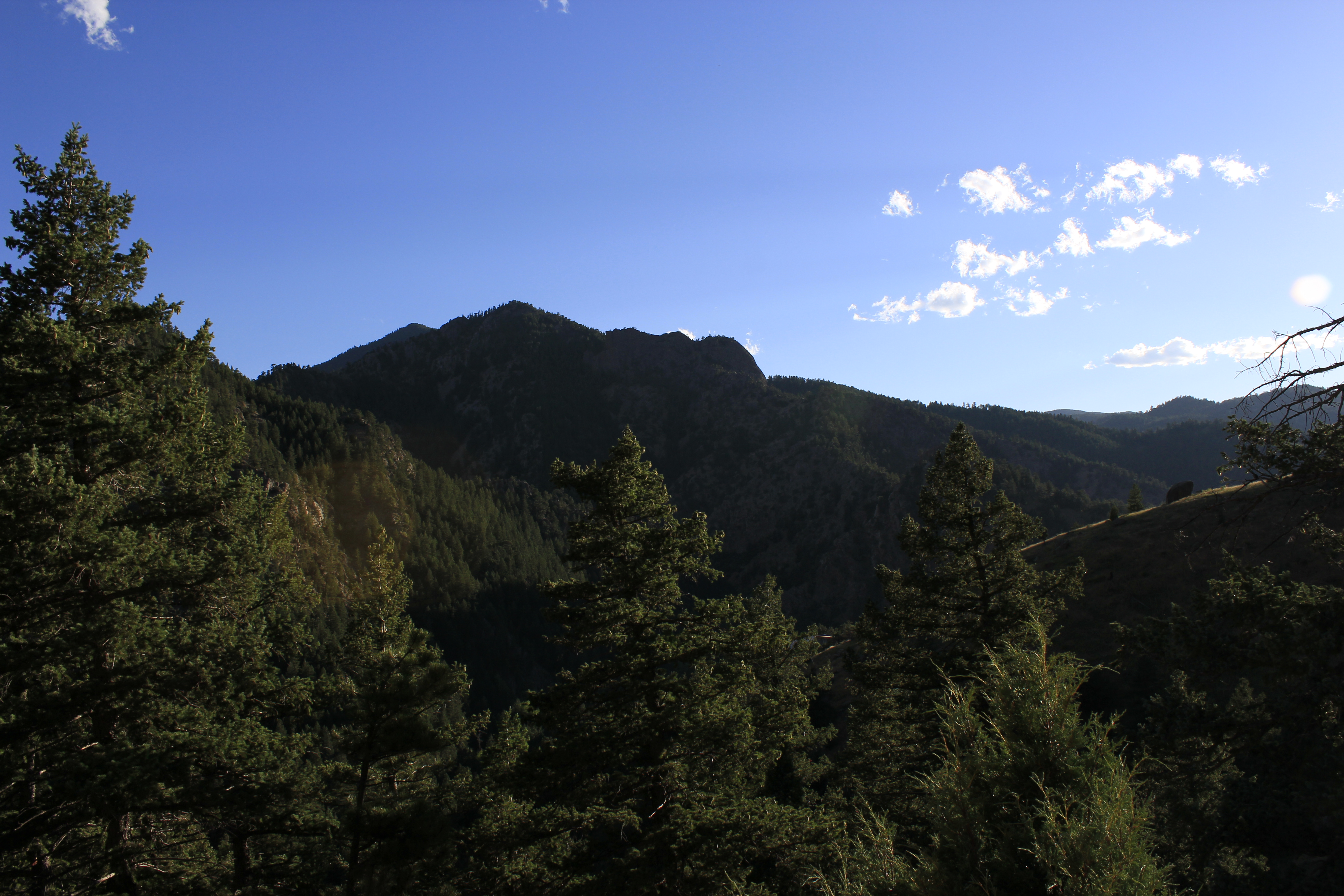
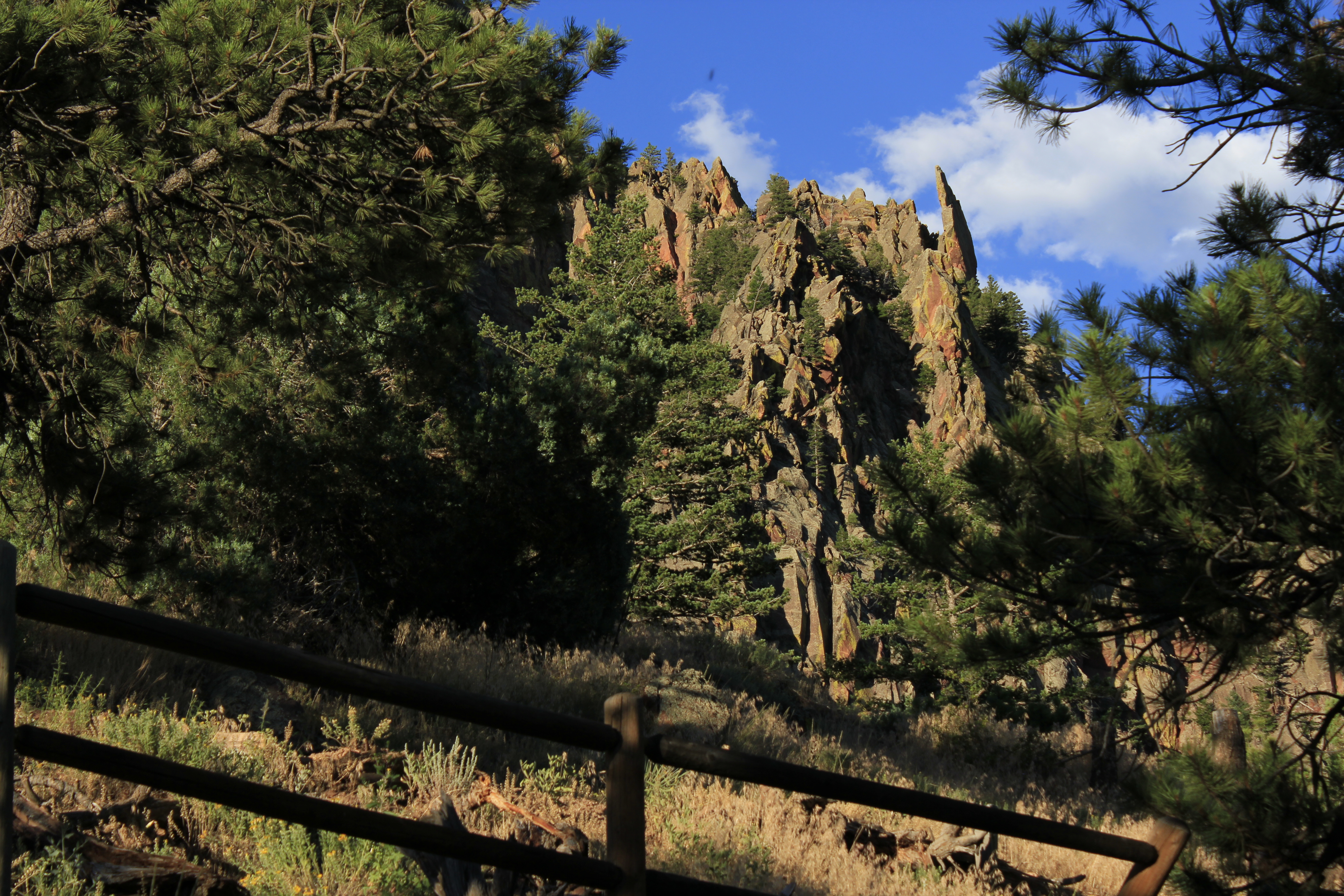
I haven’t had the opportunity to get out and explore as much as I would have liked, but I did get to do some hiking at El Dorado Canyon. I was originally going to visit the mountain town of Nederland and do the short hike up to the peak of Sugarloaf Mountain, but there was a wildfire started by some campers that caused the area to be completely evacuated. See some pics from El Dorado Canyon State Park below:
I’m hoping this weekend I will be able to get out and explore a bit more!
…
Responses to comments from my Week 3 post:
Mara – We actually visited the USGS Central Region Energy Resources Program at the Denver Federal Center. The Federal Center itself houses 26 different federal agencies. Because this part of the USGS program focuses on energy resources, most of the resources they have access to are focused on energy resources. They seem to have a pretty good relationship with a lot of the oil companies, so if I recall correctly, a lot of the images they have access to are from industry data collection. It’s a pretty cool facility, originally an ammunitions plant during WWII. Last week we also visited the USGS NEIC & Geological Hazards Service Center in Golden, CO and got to learn all about how they chase down and report on EQ/Hazards!
As for the computer issues, I will tell you it gets better! That’s not to say you have fewer computer issues, but you gradually become more immune to the frustration you feel. When I first started coding, I felt the same frustrations as everyone else! Eventually that feeling mostly goes away and is replaced by the need to solve the underlying problem. Just keep up the good work and go easy on yourself when you make mistakes. Everything is a learning experience!
Rob – I did have a great weekend. I got to watch the fireworks from the patio of the house CU PhD recipient. We had a really nice view of the fireworks from CU’s stadium. I hope you got to see them from the airport! Thanks for the tip about Green Mountain. I’ll definitely look into fitting it into my schedule. I’m not entirely sure we’re going to do the depth migration at this point. We do have a nice time migration, but due to time constraints, we’re focusing on other things. If we do end up doing the migration, I will let you know!
Natalie – I’m glad you’re enjoying DC! Moving living spaces during your internship might be inconvenient, but in some ways it could actually be great! You get to see a whole new atmosphere and find new nearby dining spots. I hope you are having an amazing time. Let me know how the past few weeks in DC have been. Boulder is a cool spot. It’s right in the middle of all kinds of mountains and other interesting geological features, there are plenty of fantastic breweries, and the availability and relatively low cost of high-quality healthy food options all make it a pretty nice place to live.
Week 5 – Statics, Elk, and Bears, Oh My!
July 22nd, 2016
What causes a traffic jam at 13,000 ft? Elk, apparently!
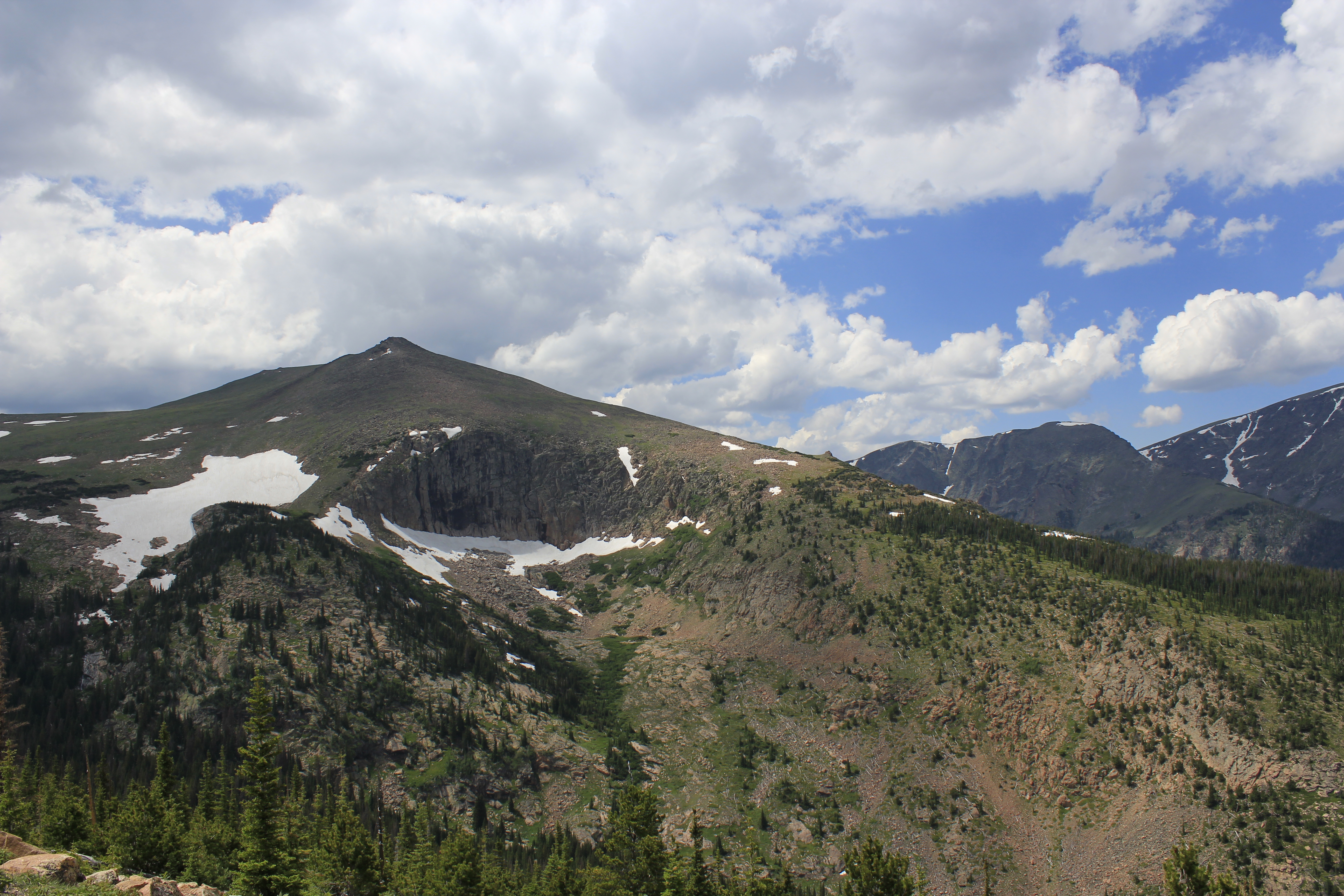
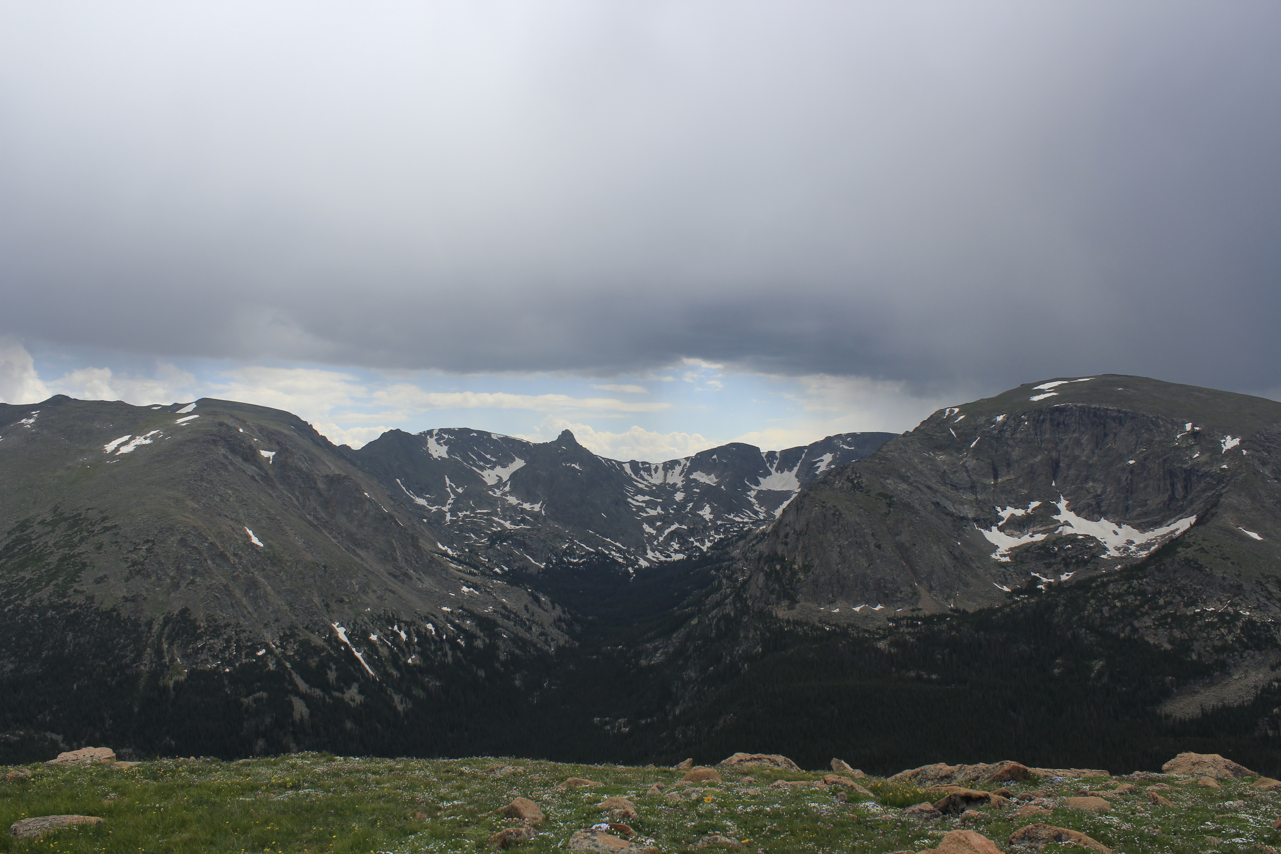
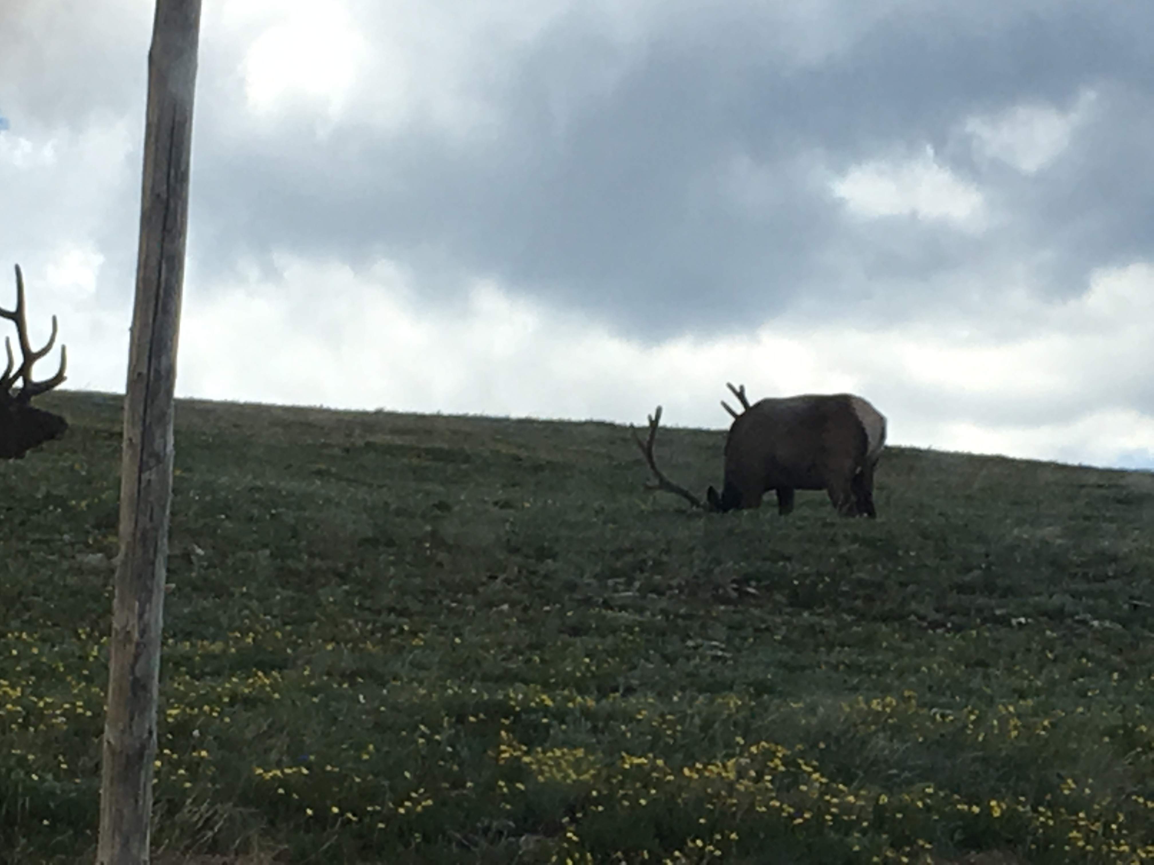
Over the long weekend, I got an opportunity to drive out to Rocky Mountain State Park. I did some hiking and got to spend the day of the 4th enjoying the breeze by Emerald Lake. I also took a little driving tour through the park, up to the Alpine Station. I saw (and took pictures) of more peaks than I’ve ever seen before! In addition, I got to see a family of bears and a ton of elk. On the way back down from the mountain, the elk created a huge traffic jam from people trying to take pictures. Below are some pictures of the landscape (and the elk).
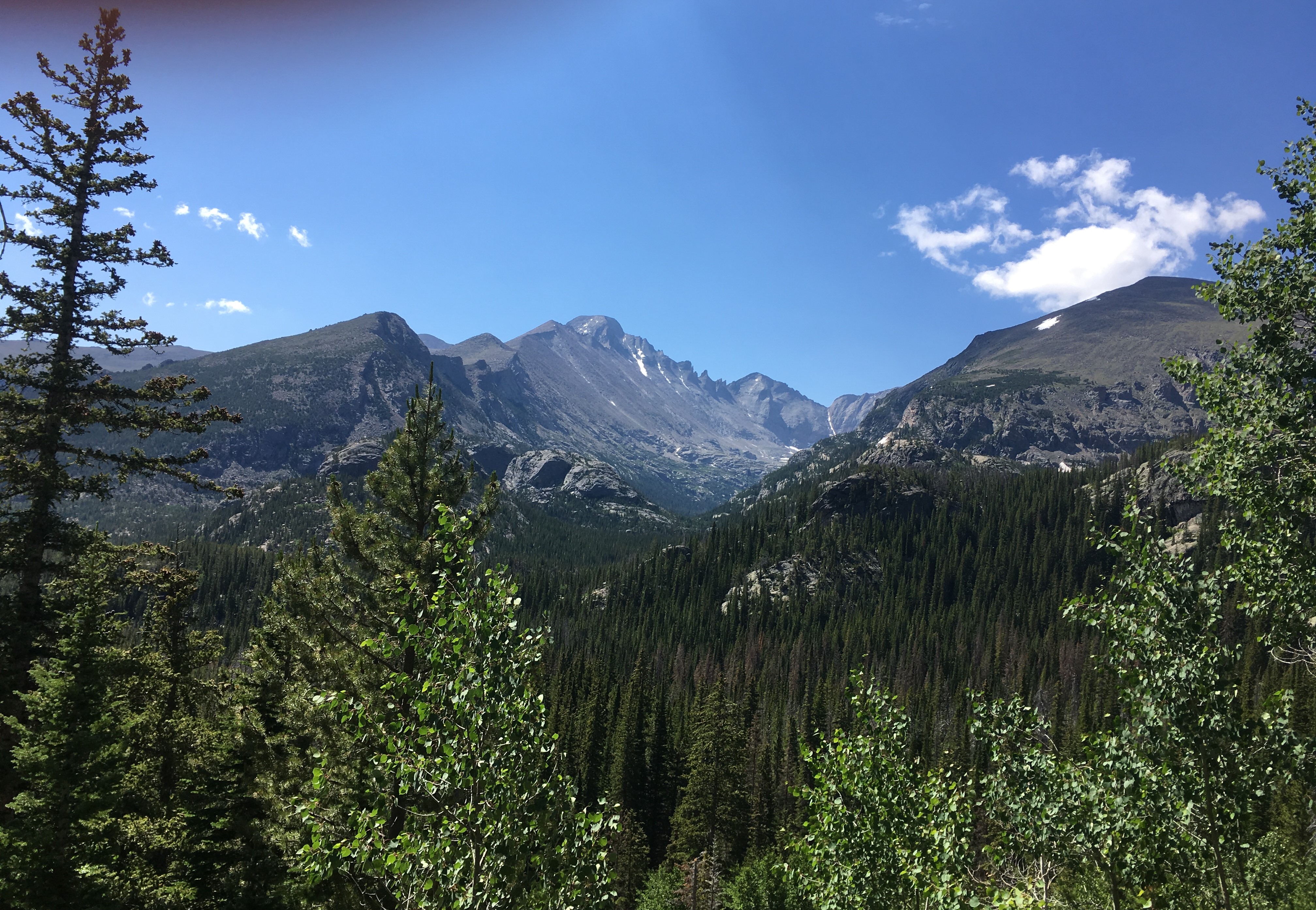
Keyboard of the Winds
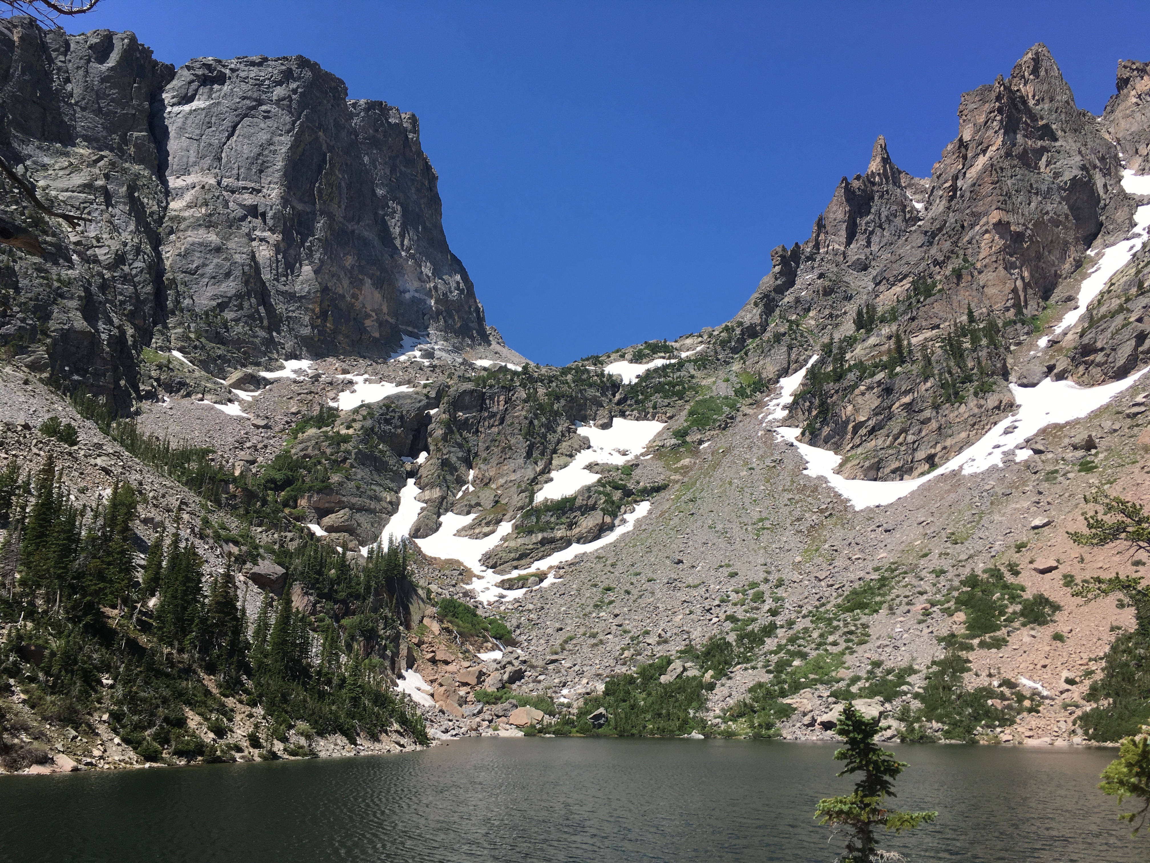
View of Hallet Peak (left) from Emerald Lake
Unknown Peak off the Side of Road
Alpine Peaks
Poorly Taken Photo of Elk from Driver's Seat of Car
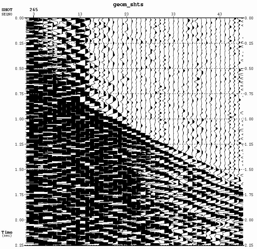
After working hard on trying to QA our statics solutions for the past couple of weeks, our host at Tricon recommended we move away from GeoTomo’s GLI3D Software utility XtremeGeo’s Flatirons software. If you’re wondering at this point why all most posts have been about statics, wonder no further! The severe lack of lateral homogeneity of the rocks in our line make it difficult to generate a smooth model. We need both stacking velocities that are adequate enough to image both the low-velocity basin rock and the high-velocity crystalline Precambrian rock after the fault, however these usually create a very rough, unrealistic model that doesn’t lend well to processing. Even within the basin, there is a decent amount of lateral heterogeneity that produces the same problems. At the toe of the fault, we also have a rather large weathering layer. Thus, producing statics from a smooth model that appropriately stacks the image has been a challenge. Furthermore, some of the shots in the mountain area are significantly noisy enough to make it difficult to pick first breaks (see image).
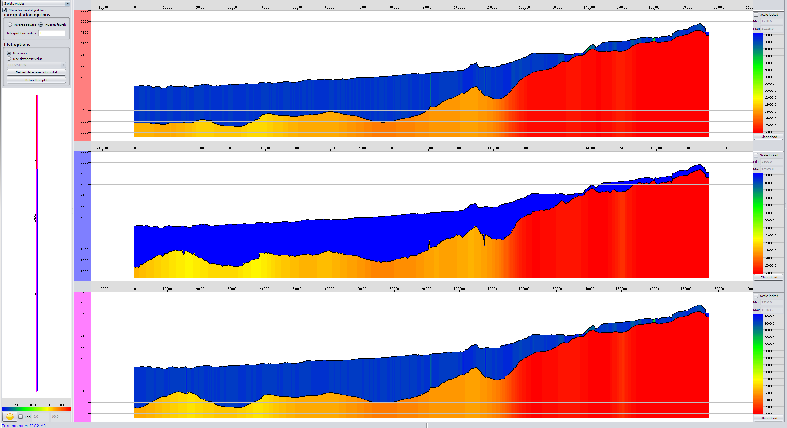
The image below (from Flatirons) shows the development of a smooth, 1-layer model in Flatirons. The middle profile is the model without alterations. The top profile is the model without allowing the velocity to change drastically, which results in smoothing the model. The bottom profile is an updated version of the model.
Week 4 – More Statics, The Office at CU-Boulder, and Tricon
July 22nd, 2016
This week has been spent mostly working on improving our statics solutions, attempting to hunt down well log data to gain better a better constraint on the weathering layer velocity, and identifying software to use in the interpretation, once the seismic section is fully interpreted. In addition, I spent some time continuing to read up on the geology of the area.
I feel mostly adapted to my environment at this point. The big exception being water consumption. Due to the elevation and the general lack of humidity in Colorado, I find myself having to consume a lot of water in order to not have a headache every morning I wake up. This is something I’m not quite used to after living in Pittsburgh, which is pretty humid, especially during the summer months.
But I think the biggest difference in environment is in communication style. The majority of the people in my offices are physicists or engineers. My background is in computer science and geology. Every field comes with its distinct set of unique terminology, lexical nuances, and general syntactic flow. This can make communication of concepts—especially between individuals at different comprehension levels of a particular topic—sometimes challenging. This is not a challenge I haven’t noticed elsewhere; I believe it is a kind of inevitable challenge in any position, academic or otherwise. Crossing over that divide requires a concerted effort by both parties. As the weeks have passed and I’ve learned more about seismology/geophysics/processing, it has become noticeably easier to communicate. After a few months to half a year, I imagine it would be nearly imperceptible.
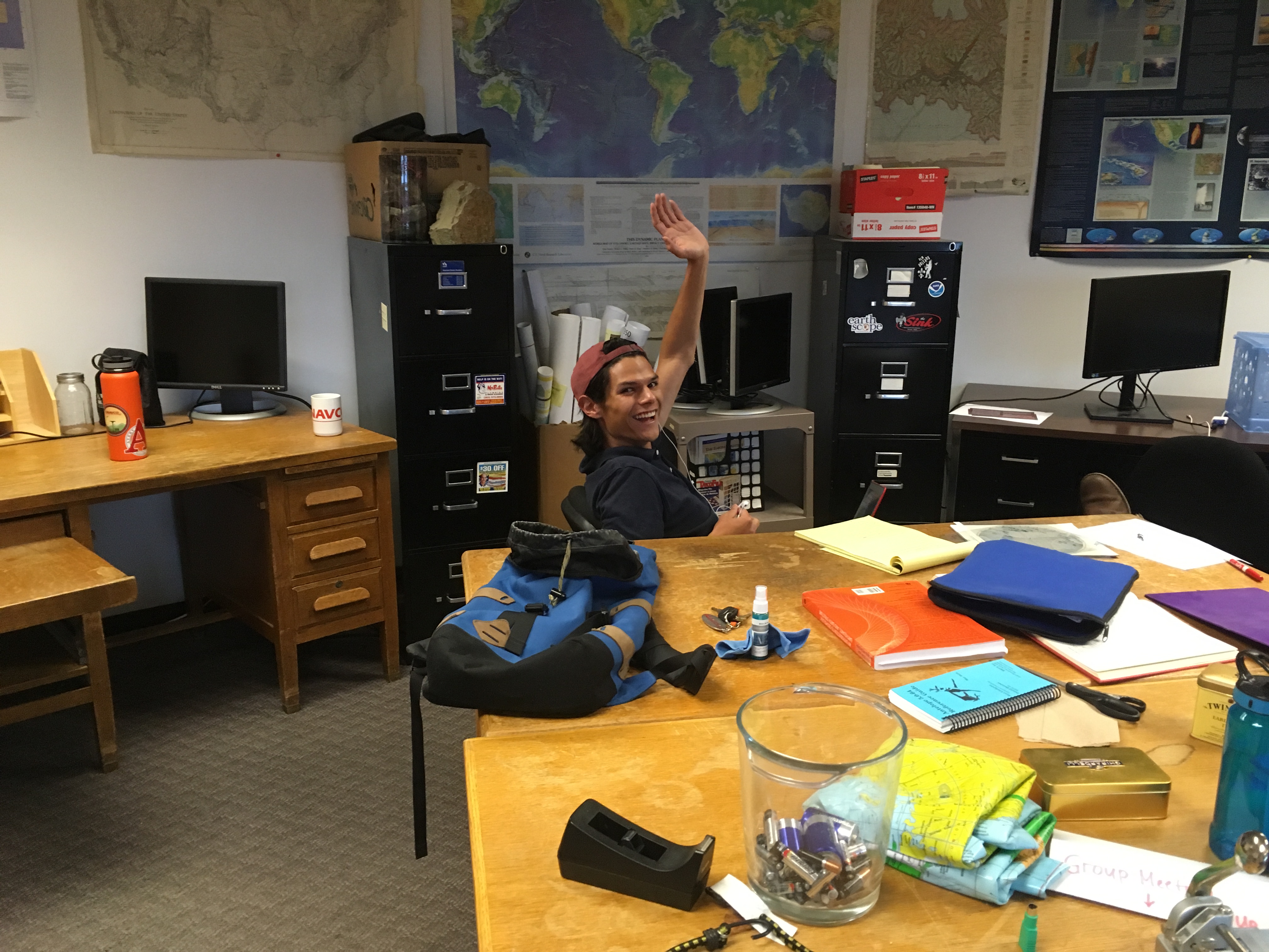
Below are some pictures of the office at CU, including one with Enrique waving to all the IRIS interns/staff.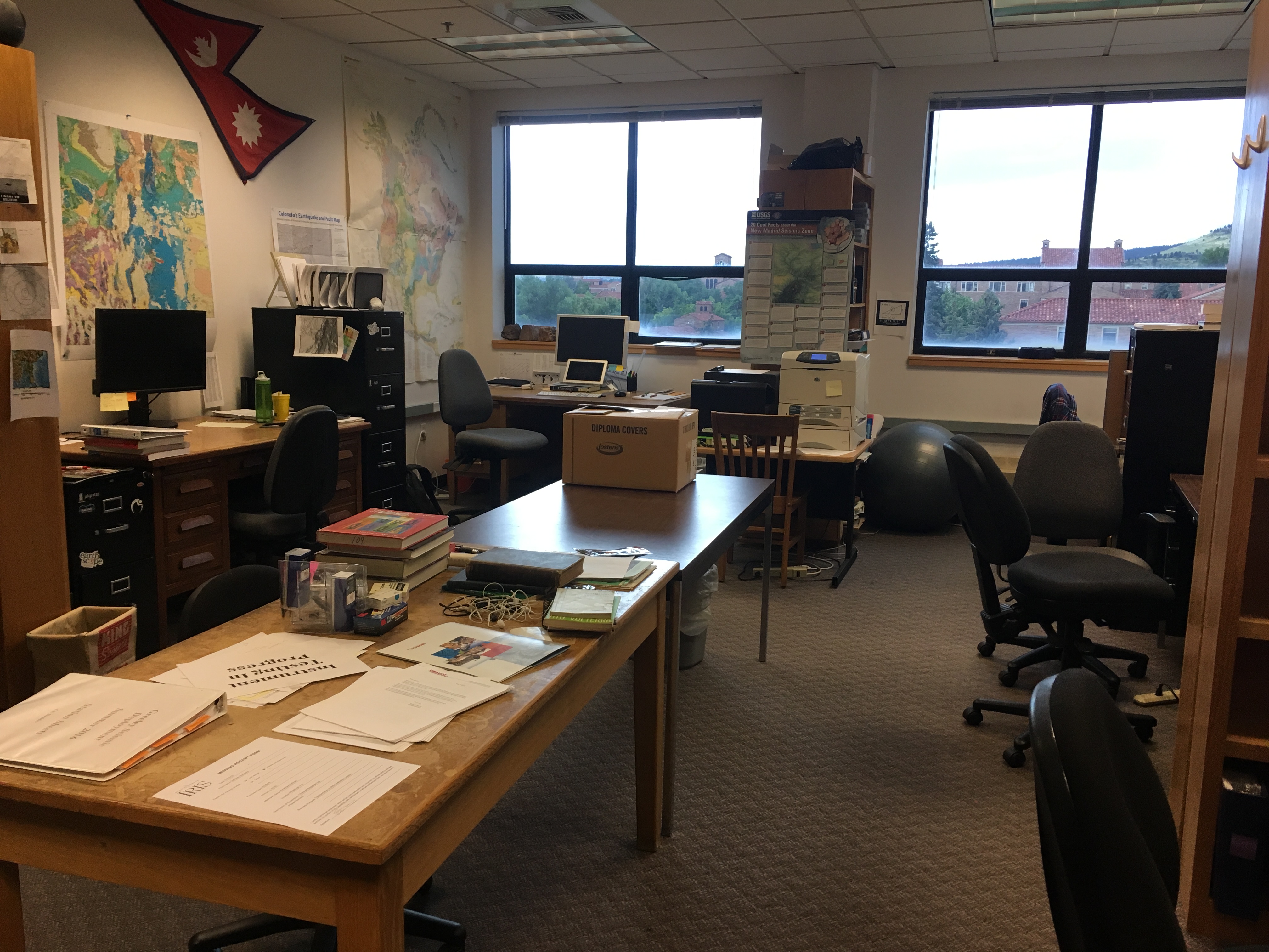
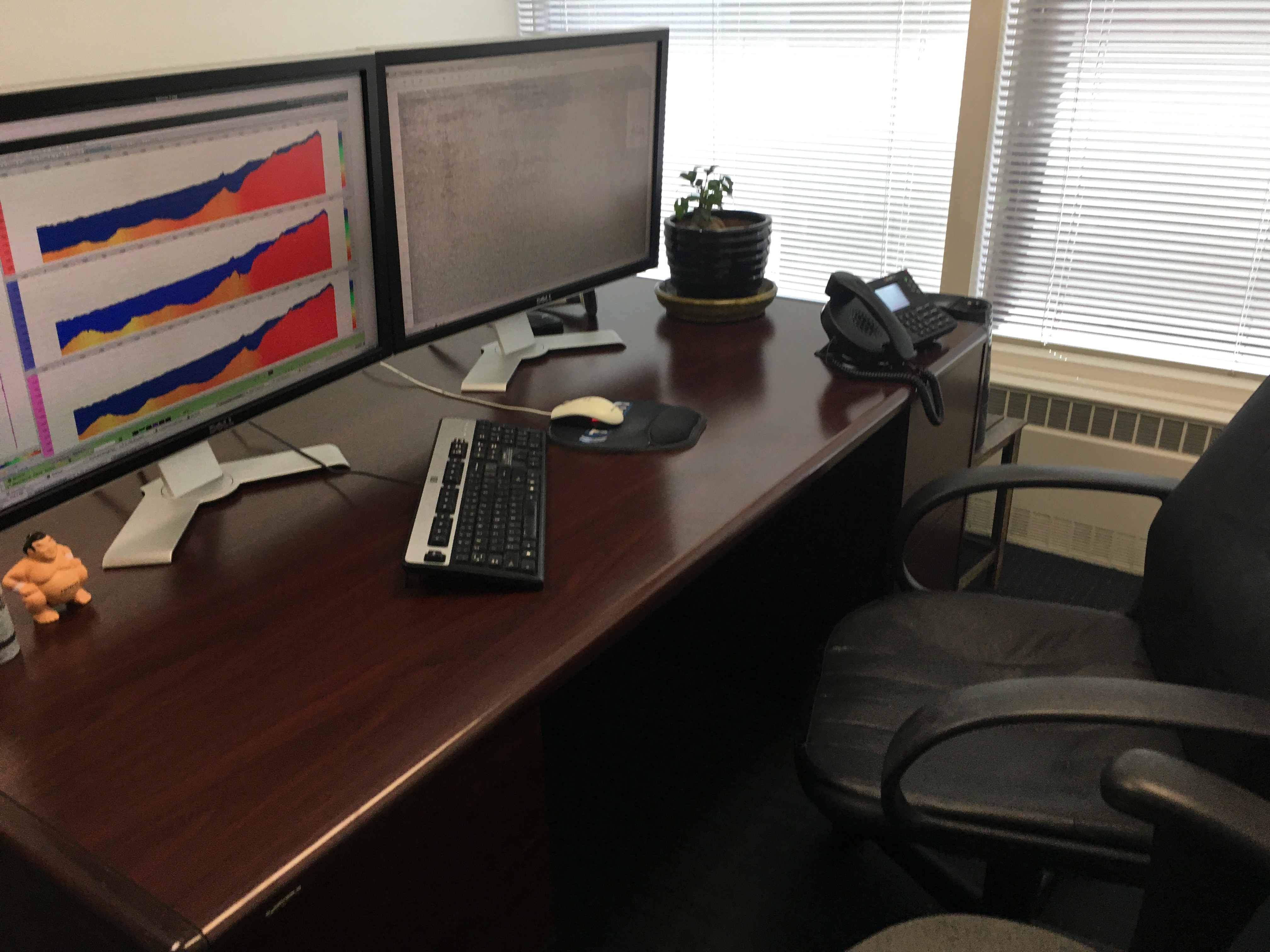
And, a picture of the office (note the awesome monitor setup) at Tricon in Denver, CO.
Week 3 - Statics QA, Research Information and Elevator Speech
June 27th, 2016
By the start of this week, we had made it through the bulk of the easier processing steps and starting in on QA-ing our stack and addressing problems in our statics. We also dealt with a number of computer issues that consumed a good deal of our time. One of our hosts at Tricon attempted to migrate our data to a newer server to utilize the new version of the software we were using, but that process ultimately failed and we returned back to our old system, which has been a bit fraught with log-in problems, lost data, etc. But ultimately, we are making progress working to build a better stack with help from our generous hosts at Tricon. We will most likely continue this process on Tuesday until we have a stack that feels sufficient to do a depth-migration. We will be learning this process sometime this week. After that, my graduate student mentor and I will split up and each work on our own lines.
In the meantime, I've been working on finding papers and additional resources on the background of the Wind River Valley and Bighorn Mountain (my graduate student mentor's project), doing background reading on seismic reflection/geophysics, listening into a wonderful guest presentation by Dr. Martha Savage from Victoria University in New Zealand on “Seismic structure and anisotropy on the New Zealand plate boundary”, and sitting down with CU-Boulder's Kristy Tiampo to learn about her research which uses remote sensing (InSAR, GPS), seismic and gravity data to look at natural hazards and earthquake processes.
I also took the time to put together my first draft of an elevator speech for this project. Though putting this speech together was a little challenging, I think it was a great process and I'm excited to see how it changes as the summer continues and my level of understanding deepens. I like the idea of writing down a kind of “script” of an elevator speech. I often have difficulty in pacing my presentations and also in knowing which aspects of my project to address. Having this speech as a resource gives me a great starting point to get the conversation started and will likely actually reduce the stress I'll feel presenting at AGU this winter. This is also a great resource for introducing my research to potential future graduate school advisors, scientists at other smaller meetings, laypeople in a variety of social situations, and even friends and family to some extent. I think that while it may be a challenging process, developing these speeches is a really useful exercise in developing scientific communication skills.
This afternoon I'll be visiting the USGS at the Denver Federal Center to tour the facilities with USGS P.I. on the Bighorn project.
Week 2 - Processing Success, Fieldwork, and Data Set Analysis
June 20th, 2016
The second week of my internship brought a little more success in terms of data processing. We had been having a lot of issues with our data processing including password/permissions issues, frequent crashing, and mysteriously disappearing data! Though our issues haven't completely been resolved, we definitely had a lot fewer issues this week and were able to make significant progress including elevation statics, velocity semblance analysis (multiple passes), NMO (normal moveout correction), reflection statics and deconvolution. I have also caught up to my graduate student mentor in the training process at Tricon, so I'm excited to see where things progress from here!
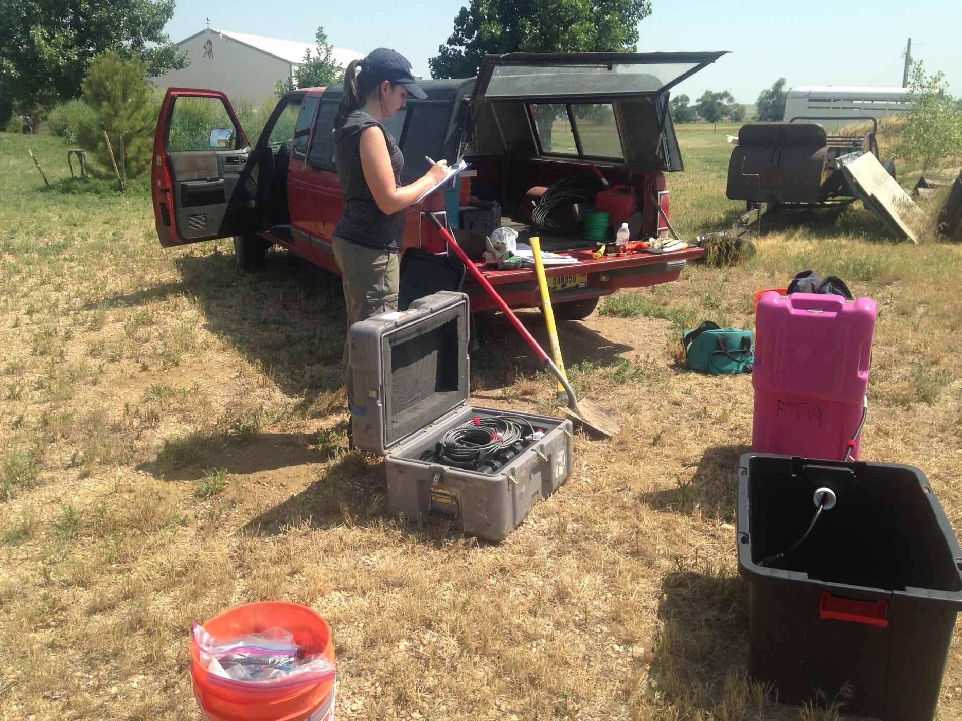
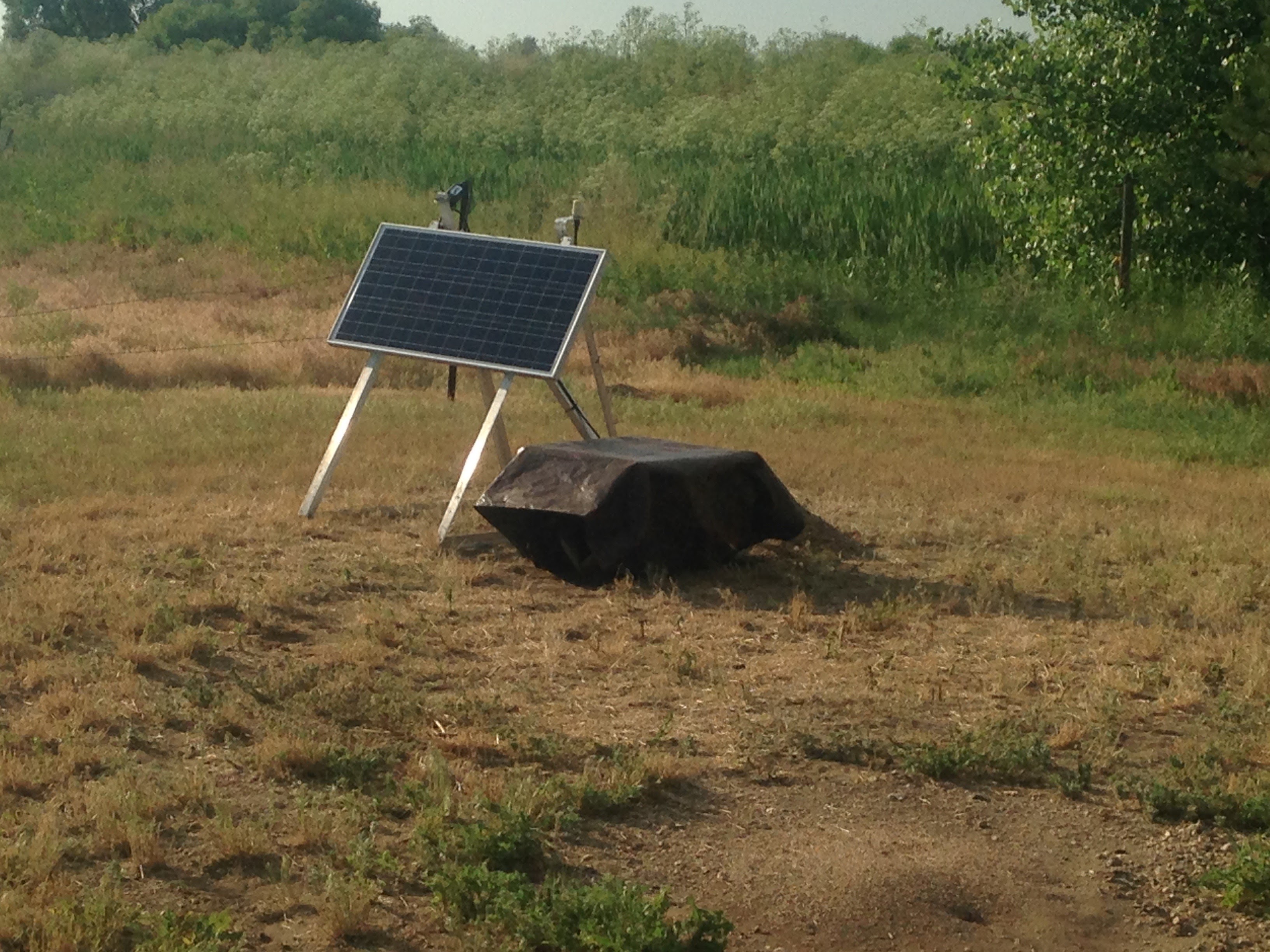
I had the opportunity this week to do a little fieldwork on my mentor's passive-source experiment in northeastern Colorado. I went with another graduate student on Friday to install a T-40 seismometer on some farmland out in the middle of nowhere. We drove an hour or so out of Boulder to the floodplains surrounded by miles of farmland, cows, and the occasional very little town. The day was hot and due to rental car issues, we didn't get started until almost 3PM. In a few hours, though, we had the seismometer successfully up and running. Unfortunately, we had some issues with the telemetry, and even after swapping out the REF-TEK and modem, we left without a solution, hoping that it was an issue with communication with the server back at CU.
The data set that we are using was collected by COCORP (The Consortium for Continental Reflection Profiling) from 1976 through 1977 and is publicly available. In the 70's and 80's, the COCORP project collected multichannel seismic reflection profiles at thirty sites across the US with the goal of exploring the continental lithosphere. The specific data set that we are reprocessing is from the Wyoming across the Wind River Range. With the help of some very kind and helpful individuals at Tricon Geophysics, Inc. in Denver, we are using modern techniques to reprocess the data (last processed in the 90's, I believe). There are three lines (WY01, WY01A, WY02) across the site in Wyoming which collectively span the Green River Basin through the south-eastern end of the Wind River Range and into the Wind River Structural Basin.
The source for the reflection data is vibroseis trucks. Vibroseis data has a number of advantages over dynamite including: being non-destructive, providing greater control over the source signal, and preventing destructive effects caused by the density of the source wavelet. However, there are also disadvantages including high-amplitude Rayleigh wave signals in the data. Additionally, the vibroseis method requires arrays of large vibroseis trucks which naturally limits the areas where the trucks can be used. We see evidence in the data what is probably the result of this limitation. Our profiles through the basin areas are consistently linear, but our profile through the mountain is subject to strong offsets, most likely due to accessibility issues due to the terrain. Another limitation/issue we are having is multiples in the data that we have been working on dealing with during pre-migration processing. Another problem that we're having is simply the actual record keeping. We can't seem to locate the lat/long coordinates for the 1A line. Additionally, the Surveyor Notes and Observer Notes are organized/commented in a way that can be confusing at times.
IRIS has asked that we reflect on a skill from our internship mentoring rubric. The item I would like to focus on is the ability to “communicate knowledgeable about your research area and discuss concepts in a scholarly way with academic colleagues.” This is the skill that I struggle with the most. While I seem to be able to write seemingly effectively, I struggle when actually being prompted to discuss my research, whether via a verbal presentation or in everyday conversation. Improving this skill could make a huge impact on my success in a scientific field, where effective communication is becoming increasingly more important. While it would be nice to assume that I could continue in this career on the basis that my writing will suffice to convey my research to both the scientific community and the general populus, that simply isn't the world we live in! Communicating in person, at conferences, and with members of the general public is currently the most effective and time-efficient means of communicating science. I haven't had much time to practice this skill yet, but will certainly have the opportunity by the end of the internship and at AGU. I think that the most effective means for developing this skill is to make written outlines/blurbs about my research and to review them frequently enough that they become second nature. This takes advantage of my natural instinct to communicate through writing while helping to build my verbal communication skills.
Looking forward to another week of reflection processing in Denver, and learning more about seismic processing/interpretation and the Wind River Range!
Week 1 - Denver, Progress, and Goals
June 10th, 2016
After a week in Boulder, CO, I've successfully figured out transportation (to campus, to Denver, to food, etc.), resolved logistical problems (broken phone, inadequate packing), and made some reasonable first progress on our research problem. I'm quite happy with my IRIS placement and am excited to see where the research leads us. Being one of the few IRIS interns without a strong Physics background (Computer Science/Geology major), I am spending my days in between processing at Tricon catching up on my understanding of seismology/geophysics and working on further developing my technical skills.
To set myself up to plan for and keep track of my progress during the internship, I have set up three primary goals, along with targets to hit for the first, second, and third portions of the summer.
My goals for the internship:
1. Develop a strong understanding of seismology and seismic processing techniques, as measured by progress in my research project:
- 1st 3rd: Successful processing of seismic data and generation of a profile for analysis.
- 2nd 3rd: Interpretation and analysis of reflection seismic profile.
- 3rd 3rd: Development of an AGU abstract/presentation
2. Increase and improve my technical skills, including general programming/UNIX, GMT, Matlab, seismic reflection processing software (Paradigm's Focus 5.4), and any additional software that may prove useful.
- 1st 3rd: Successful processing of seismic data at Tricon (UNIX, Focus 5.4), generation of a map for a future presentation (GMT), and completion of tutorials/instruction (UNIX, GMT, SAC, Matlab, R?).
- 2nd 3rd: Applied use of software for analysis and presentation of profile/tectonic setting.
- 3rd 3rd: Combined use of knowledge to present well-structured interpretation of COCORP seismic data.
3. Learn to effectively communicate and present scientific research and knowledge.
- 1st 3rd: Informal discussion of new topics and read papers.
- 2nd 3rd: Informal PowerPoint presentation summarizing learned concepts to a general populus.
- 3rd 3rd: Formalized presentation of research results in 3 formats: updated PowerPoint presentation, AGU abstract, and AGU poster presentation.
I'm looking forward to seeing how the summer progresses, as well as finding some time to explore Boulder!
IRIS Orientation
June 3rd, 2016
We just learned about seismic reflection processing techniques at the 2016 IRIS Internship Orientation. I am currently trying to figure out what people write in blogs. There's collective agreement that some of us are not good at blogging.
Looking forward to the bonfire tonight and excited to get started on research next week! I will miss the great lectures, fun adventures/fieldwork and constant supply of coffee and snacks!


