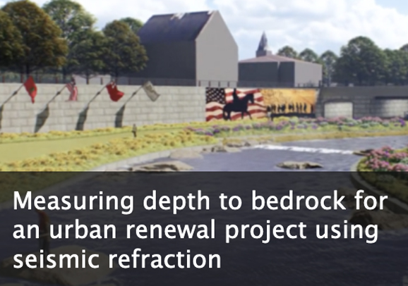
This module is designed to introduce students to geophysical concepts and related earth science principles to illustrate how geophysics can be used to inform engineering projects in an urban environment. Students are first introduced to seismic data as individual waveforms, allowing them to explore the relationship between wavelength, frequency, and travel time. They explore the fundamental equation governing seismic refraction, Snell's Law, and then use seismic refraction data to interpret subsurface geology from a small survey on the University of Wyoming campus. Finally, they use seismic refraction data to evaluate the subsurface geology for an urban renewal project along Codorus Creek, in York, PA. There is also an option to collect and analyze one's own seismic refraction data, using instrumentation resources available at the IRIS PASSCAL Instrument Center.
This module is intended to require approximately two (2) weeks of class time, excluding the optional collection and analysis of one's own data. Teaching material includes PowerPoints that may be used in lectures or provided for self-guided learning, Excel-based exercises to guide students to an understanding of the mathematics that underpin seismic refraction, and handouts that ask students to synthesize what they learn from the exercises. In addition, multiple choice and short answer questions can be given to students as homework, on quizzes, or on exams. The Codorus Creek case study culminates in a report, and a rubric is provided for evaluating those reports.
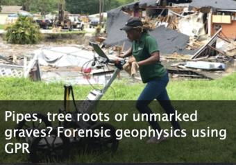
This module considers the capabilities and limitations of ground-penetrating radar (GPR) in urban/highly developed settings and for forensic applications.
Students are asked to draw on their current understanding of common medical imaging methods and draw comparisons to GPR. The module as a whole focuses on the application of GPR to locating buried utilities (pipes, etc.) and to local graves.
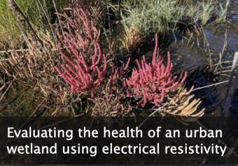
This module emphasizes how electrical resistivity is used as a proxy for measuring salinity in a wetland just outside of New York City, and how the presence of an indicator species is used as a proxy for ecosystem health. Comparing these data illustrates how cities impact the environments around them.
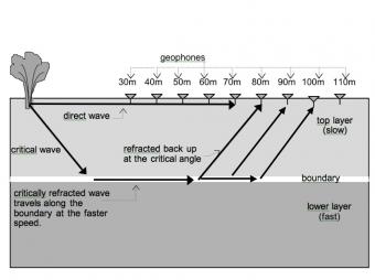
Like other waves, seismic waves obey the laws of physics. In this activity Physics students have the opportunity to apply their understanding of the basic concepts of waves (e.g. reflection, refraction and transmission of energy) as they examine seismic data to determine how far it is from the surface to the bedrock.
The IGUaNA teaching materials feature urban environmental, engineering, and forensic questions that can be answered, at least in part, through geophysics. They are designed to maximize student engagement and learning through analysis of real data and clear connections to communities.
We encourage the reuse and dissemination of the material on this site as long as attribution is retained. To this end the material on this site, unless otherwise noted, is offered under Creative Commons Attribution (CC BY 4.0) license