In this activity, students plot worldwide earthquake epicenters using current reports of seismicity available from the IRIS Seismic Monitor. These plots reveal narrow zones of seismic activity globally that will aid in understanding plate tectonics.
This activity is designed to stimulate interest in global earthquake patterns and their causes. It provides a natural transition to teaching about plate tectonics. The inquiry nature of this activity promotes critical thinking and questioning by the students.
This activity is made up of two lessons. The first, Where in the World? takes approximately 50 minutes, and reviews latitude and longitude, and the use of earthquake magnitude and depth. The second, What's Shaking? is a long-term plotting exercise in which students regularly gather earthquake data throughout the academic year (or semester) and plot them on a world wall map.
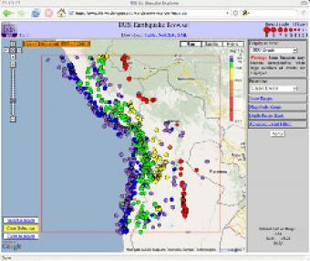
The IRIS Earthquake Browser (IEB) is an interactive tool for exploring millions of seismic event epicenters (normally earthquakes) on a map of the world. Selections of up to 5000 events can also be viewed in 3D and freely rotated with the 3D Viewer companion tool.
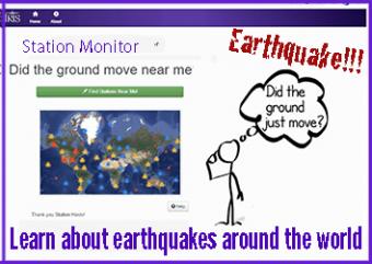
A beautiful map of the latest earthquakes in near-real time. The map also provides links to related resources, news, and connections to 3D maps.
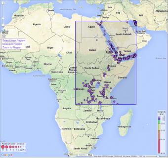
In this exercise, students will learn about the various types of plate boundaries, investigate well-known examples of some of these boundaries, and then apply what they have learned to East Africa to determine the most likely cause of seismicity in this area of the world.
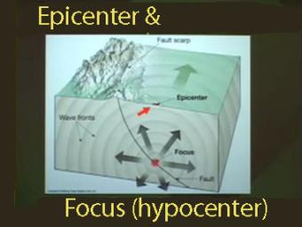
The epicenter is the map location on Earth’s surface, above where earthquake began. An earthquake actually begins inside the earth at the hypocenter. Learn more!
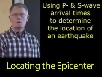
The arrival times of P and S waves are used to determine the distance to an earthquake using standard travel-time curves.
We encourage the reuse and dissemination of the material on this site as long as attribution is retained. To this end the material on this site, unless otherwise noted, is offered under Creative Commons Attribution (CC BY 4.0) license