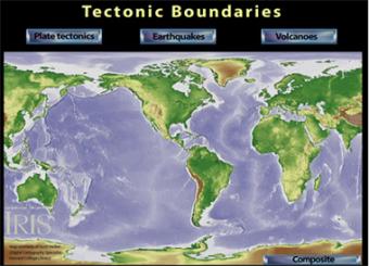
How do earthquakes and volcanoes line up with tectonic boundaries?
How are the tectonic plates related to earthquakes and volcanoes? This interactive relief and bathymetric map reveals tectonic plates, as well as world-wide earthquakes and volcanoes. By looking at each you can see a positive correlation between all three. Touch "Composite" button to put it all together.
ABOUT TO GO AWAY: IRIS is going to discontinue Flash animations in 2020. If you have a Flash player app and would like a copy, download this .swf file.
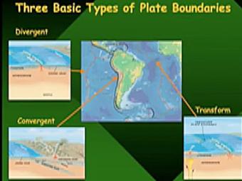
Video lecture covers three basic types of tectonic plate boundaries.
A beautiful map of the latest earthquakes in near-real time. The map also provides links to related resources, news, and connections to 3D maps.
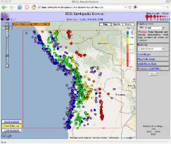
The IRIS Earthquake Browser (IEB) is an interactive tool for exploring millions of seismic event epicenters (normally earthquakes) on a map of the world. Selections of up to 5000 events can also be viewed in 3D and freely rotated with the 3D Viewer companion tool.
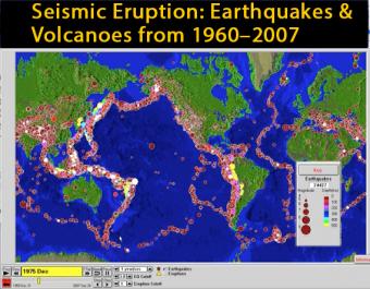
This animation of the PC program, SeismicEruption, was created for those who are unable to use the program but want to see how Alan L. Jones' SeismicEruption program works.
We encourage the reuse and dissemination of the material on this site as long as attribution is retained. To this end the material on this site, unless otherwise noted, is offered under Creative Commons Attribution (CC BY 4.0) license