

The IGUaNA teaching materials feature urban environmental, engineering, and forensic questions that can be answered, at least in part, through geophysics. They are designed to maximize student engagement and learning through analysis of real data and clear connections to communities. Published materials meet rigorous benchmarks for student-centered learning outcomes, instructional strategies, resource content, and assessment effectiveness; have been peer-reviewed; and have been pilot-tested by multiple instructors to ensure usability in a range of different institutions and courses.
Each IGUaNA module is comprised of three to five "units" and takes about 1-3 weeks of class time when done in its entirety. For instructors with less time available, Using IGUaNA Modules provides guidance on how a subset of units can be selected instead.
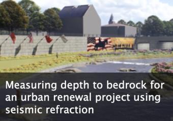
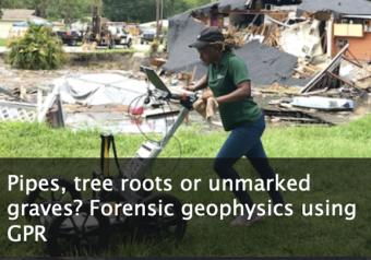
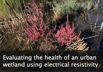
Each of the introductory modules focuses on the applications of a single geophysical method to questions or problems that affect local communities. In total, these three modules contain approximately 6-7 weeks of content which may be sufficient to fill a half-semester course or comprise half of a full-semester course. For instructors using all three introductory modules, we recommend starting with the seismic refraction unit, Measuring Depth to Bedrock for an Urban Renewal Project, followed by the Ground Penetrating Radar unit, Pipes, Tree Roots or Unmarked Graves? Forensic Geophysics, and finishing with the electrical resistivity unit, Evaluating the Health of an Urban Wetland. The rationale for this progression is that Measuring Depth to Bedrock begins with several very general concepts related to approaching environmental problems with geophysics as well as relationship of the material to possible career paths. The content of Pipes, Tree Roots or Unmarked Graves? Forensic Geophysics serves as a good bridge because it focuses on imaging both natural and manufactured targets in the subsurface and includes additional context related to the use of geophysics for sub-surface imaging. Finally, Evaluating the Health of an Urban Wetland introduces some more advanced topics for which the background in the other two units is useful.
We encourage the reuse and dissemination of the material on this site as long as attribution is retained. To this end the material on this site, unless otherwise noted, is offered under Creative Commons Attribution (CC BY 4.0) license
