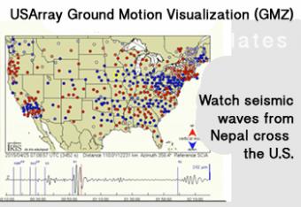
Can seismic waves from the other side of the globe be recorded?
As earthquake waves travel along the surface of the Earth, they cause the ground to move. The ground motions can be captured and displayed as a movie, providing a visual demonstration of these often indiscernible movements. The visualizations, using actual data, show how the ground moves as seismic waves sweep across about 400 earthquake recording stations in EarthScope’s Transportable Array (USArray, www.usarray.org/)). These innovative visualizations have been created for selected large earthquakes that have taken place in the US and around the world.
The visualizations illustrate how seismic waves travel away from an earthquake. Because the array’s seismometers are closely spaced in a grid pattern with unprecedented density, the recorded wave amplitudes at each seismometer clearly show through time how wave after wave progresses along the great circle path from the earthquake’s epicenter.
Two types of GMVs are produced:
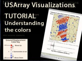
As earthquake waves travel along the surface of the Earth, they cause the ground to move. The ground motions can be captured and displayed as a movie, providing a visual demonstration of these often indiscernible movements.
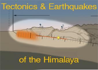
Regional compression produces broadly distributed earthquakes north of the Himalayan plate boundary. However, the historical earthquake record indicates that the largest occur on the shallow portion of the megathrust boundary. This animation discusses regional processes and focusses on the 2015 Nepal earthquake. Watch video footage of Kathmandu with a graph of GPS motion at 2min 55sec provided by UNAVCO.
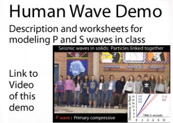
Remember the “stadium wave,” when one person stands and raises his hands in the air and the motion is translated completely around the arena? This simple kinesthetic demonstration uses a similar principal by sending seismic waves through a line of people to illustrate the difference between P waves and S waves propogating through various materials. Lined up shoulder-to-shoulder, students to "become" the material that P and S waves travel through so that once "performed," the principles of seismic waves will not be easily forgotten.

Working in both small groups and as a whole class, students investigate the classic Earth science analogy: "Seismic waves radiate outward from an earthquake's epicenter like ripples on water". A discrepant image connects the unfamiliar concept of the spreading out of seismic waves to the more familiar scenario of ripples on water radiating outwards in all directions after a droplet falls onto a pool.
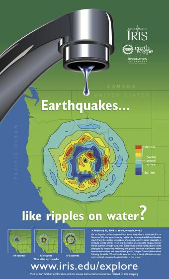
This poster combines a visualization of ground motion resulting from the February 21, 2008 M 6.0 earthquake that occurred near Wells, NV, with the image of a faucet to illustrate a classic Earth science functional analogy: "Seismic waves radiate outward from an earthquake's epicenter like ripples on water".
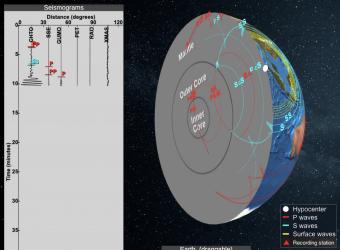
Seismic Waves is a browser-based tool to visualize the propagation of seismic waves from historic earthquakes through Earth’s interior and around its surface. Easy-to-use controls speed-up, slow-down, or reverse the wave propagation. By carefully examining these seismic wave fronts and their propagation, the Seismic Waves tool illustrates how earthquakes can provide evidence that allows us to infer Earth’s interior structure.
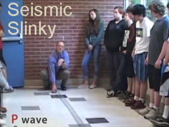
A video demonstration of how a slinky can be a good model for illustrating P & S seismic waves movement.
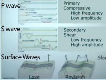
Video lecture on wave propagation and speeds of three fundamental kinds of seismic waves.
We encourage the reuse and dissemination of the material on this site as long as attribution is retained. To this end the material on this site, unless otherwise noted, is offered under Creative Commons Attribution (CC BY 4.0) license